Using drones to assess roof condition has become an increasingly common inspection method. This approach can offer practical advantages over traditional access methods, particularly in terms of time, cost, and risk associated with working at height.
This article outlines several commonly cited benefits of using drones for roof assessment and explains why this approach is often used as an initial stage when roof condition needs to be reviewed by homeowners, property managers, or building operators.
Looking for a professional drone roof survey?
This article explains the benefits. Full service details, deliverables, and commissioning information are covered here: Drone Roof Surveys.
What is a drone roof survey anyway?
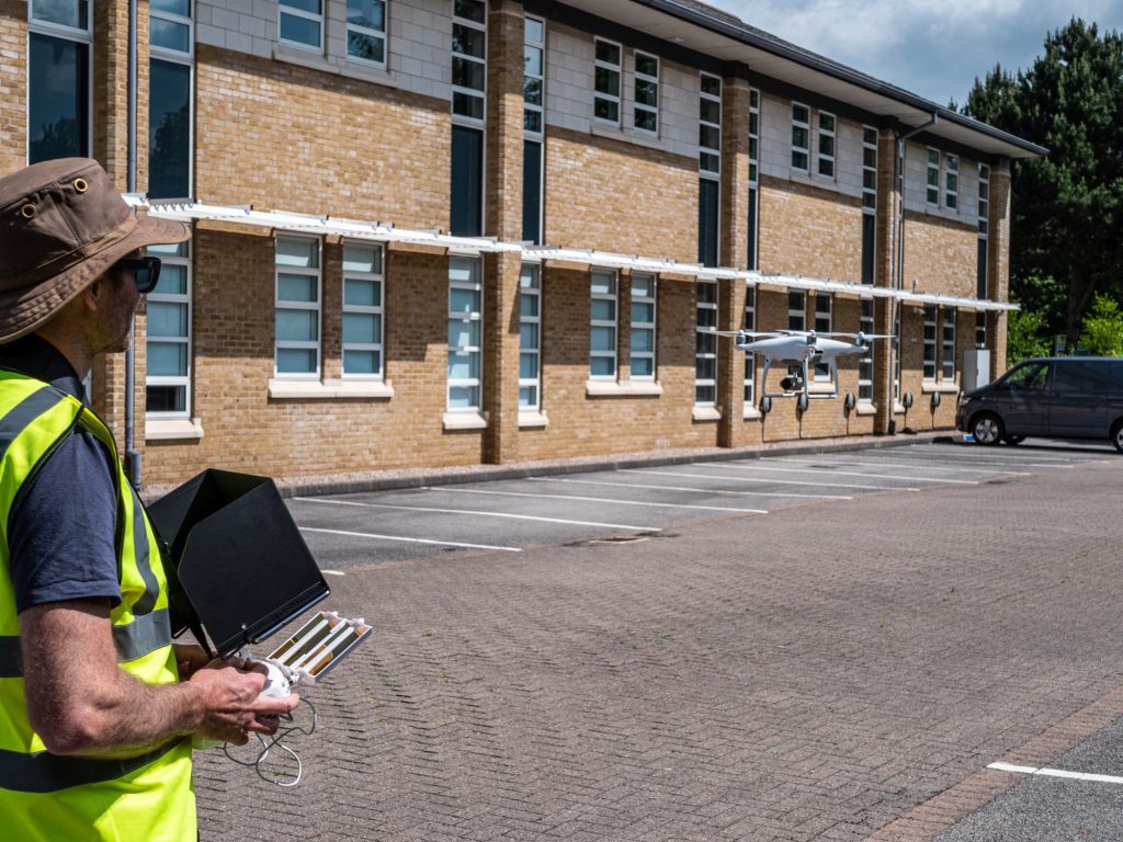
A drone-based approach to roof assessment involves capturing imagery from above the roof surface using a camera-equipped drone. Images are typically taken from multiple angles to document roof geometry and visible features such as ridges, valleys, junctions, and penetrations.
When compared with traditional access methods such as scaffolding or mobile access equipment, this approach offers a number of practical advantages. The sections below outline seven commonly cited benefits associated with using drones for roof assessment.
1. Saves Money
Using drones to assess roof condition is often more cost-effective than traditional access methods. Scaffolding and mobile access equipment can involve significant hire, transport, and setup costs, whereas a drone-based approach can reduce the need for multiple trades or prolonged site access. Any cost difference depends on roof complexity, access constraints, and the level of detail required.
2. Saves Time
Using drones for roof assessment can save significant time compared with scaffolding, ladders, or mobile access equipment. Traditional access methods often take hours to install, reposition, and remove, and typically allow only small sections of roof to be examined at a time. A drone-based approach allows imagery to be captured more efficiently across the roof and reviewed afterwards to identify visible defects or areas that may require closer investigation.
3. More Detail
Using drones allows roof structures to be viewed in far greater detail than is typically possible from ground level. Small defects can be difficult to identify from below, and even access equipment such as scissor lifts often limits viewing angles and coverage. Aerial imagery provides a clearer overview of roof condition, helping visible issues to be identified and assessed before further investigation is considered.
4. No Access Headaches
Drones require only a small clear area for take-off and landing. Once airborne, they can access roof areas that are difficult to view using ground-based methods, allowing a broad external overview to be captured. By contrast, scaffolding and mobile access equipment often require clear space around the building perimeter and may still be unable to reach certain areas due to access constraints or safety considerations.
5. No Safety Headaches
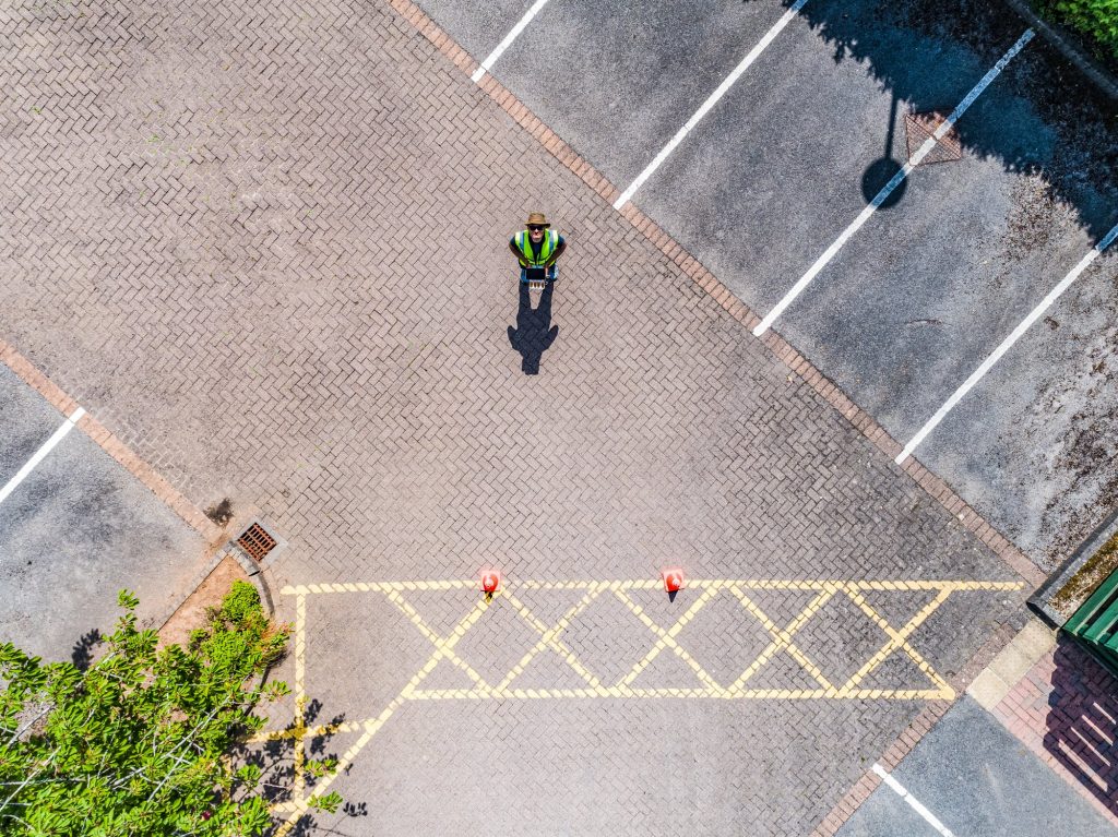
Using drones for roof assessment reduces the need for working at height. Traditional inspection methods often require operatives to access roofs via ladders, scaffolding, or mobile access equipment, which introduces additional risk. A drone-based approach allows imagery to be captured remotely, with the operator remaining at ground level throughout the inspection.
6. Environmentally Friendly
Using drones for roof assessment can reduce reliance on access equipment such as scaffolding or mobile lifts, which often require transport, installation, and powered operation. A drone-based approach typically involves less equipment on site and lower overall energy use, depending on the inspection scope and site conditions.
7. Easy to Analyse
Drones are effective tools for capturing visual data during roof assessments. High-resolution imagery allows many visible defects to be identified without physical access, particularly where defects are exposed at the surface or around junctions and penetrations.
For larger or more complex buildings, image metadata such as GPS location can assist with orientation and documentation by helping relate individual images to specific roof areas. In some cases, drone imagery may also be processed using photogrammetry techniques to produce 2D plans or 3D models, depending on the purpose of the inspection and the level of detail required.
Conclusion
In summary, using drones for roof assessment offers practical advantages in terms of access, coverage, and visual documentation when compared with traditional inspection methods. For many property types, this approach provides a useful first-stage overview that can inform maintenance decisions and indicate whether further investigation is justified.
Full details of professional roof survey services using drones, including deliverables and commissioning information, are covered here: Drone Roof Surveys.