Why Some Roof Problems Are Missed During Ground-Level Checks
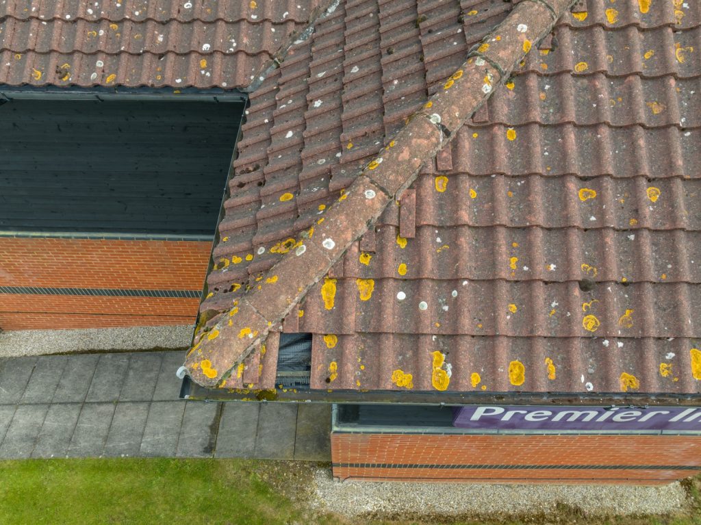
Roof Issues Commonly Missed From Ground Level Context Assessing roof condition often begins with a visual review from ground level or nearby vantage points. While this can provide an overview of roof form and materials, it rarely allows a complete understanding of condition, particularly on larger or more complex buildings. In many commercial and […]
Why Some Roof Problems Are Missed During Ground-Level Checks Read More »