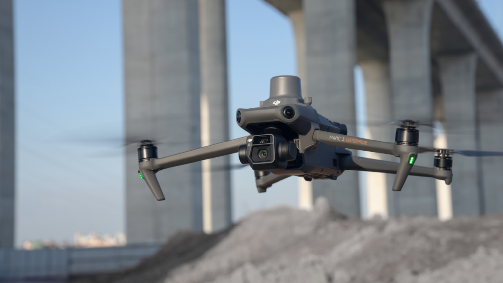
Drones have revolutionised the world of surveying, offering a faster, more efficient, and highly accurate method to capture data. At the heart of this technological marvel is the process of photogrammetry—converting photos into precise and reliable measurements. When it comes to drone surveying, understanding the ideal flight height is crucial. So, let’s delve into this subject and clarify the optimal altitude for your survey needs.
What is Photogrammetry?
Before diving into the details, it’s essential to understand what photogrammetry is. Photogrammetry is a scientific technique that harnesses the principles of photography to extract precise measurements from images. By analysing two or more photos of a specific area taken from different vantage points, it allows for the creation of detailed 3D models or maps. Commonly used in fields like surveying, architecture, and engineering, photogrammetry offers a comprehensive view of an environment, combining visuals with dimensional data.
Why Flight Height Matters in Drone Surveying
Altitude and Its Impact on Ground Sampling Distance (GSD): A Crucial Relationship in Drone Surveying
In the realm of drone surveying, understanding the Ground Sampling Distance (GSD) is imperative. GSD essentially determines the resolution of the images captured by the drone. A smaller GSD value indicates higher image detail, and vice-versa. One of the most influential factors affecting GSD is the altitude at which the drone is flown. Let’s delve deeper into this relationship.
Defining Ground Sampling Distance (GSD)
GSD refers to the real-world size of each pixel in an image. For example, a GSD of 5 cm means each pixel represents a 5 cm x 5 cm area on the ground. Consequently, the finer the GSD, the more detail is captured in the imagery.
How Altitude Impacts GSD
Direct Proportionality: GSD and altitude share a directly proportional relationship. As the drone’s altitude increases, the GSD value also increases, leading to reduced image resolution. Conversely, flying at a lower altitude results in a smaller GSD value, capturing more detailed images.
Camera Specifications: The altitude’s effect on GSD also depends on the drone’s camera specifications, especially its sensor size and focal length. Two drones flying at the same altitude might yield different GSD values due to variations in their camera specs.
Zoom Capabilities: Some drone cameras come equipped with zoom features. This can mitigate the direct relationship between altitude and GSD to some extent. A drone flying at a higher altitude but using a zoom lens might achieve a GSD similar to a lower-flying drone without zoom capabilities.
The Allure of Lower Altitude Flights
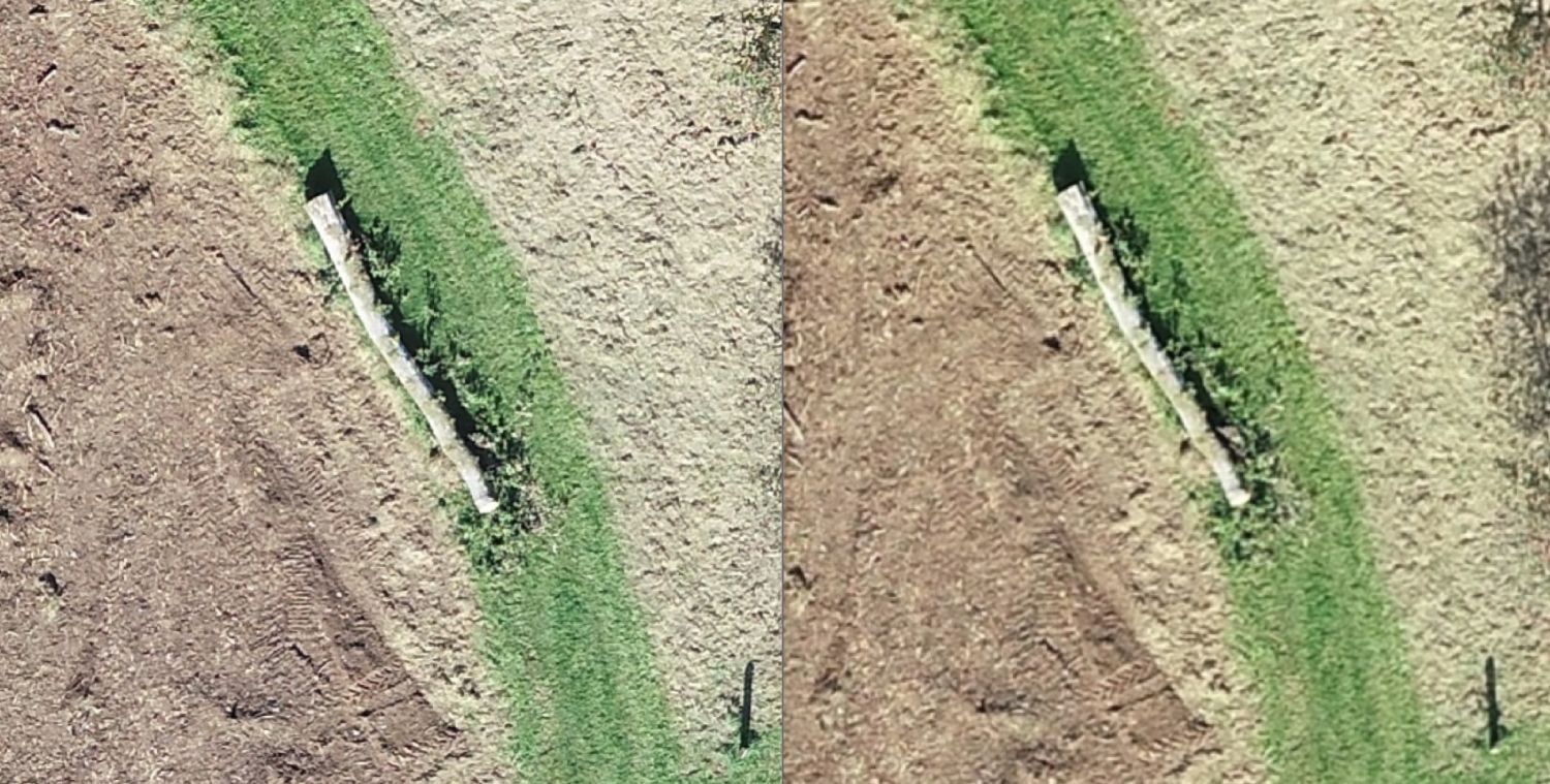
Enhanced Ground Sampling Distance (GSD): As previously established, a lower altitude results in a finer GSD, capturing minutiae that might be missed at higher altitudes. This can be especially vital for projects requiring detailed imagery, such as infrastructure inspections or archaeological site surveys.
The Complications of the Choice
Increased Flight Times: At a lower altitude, the area covered by each image is significantly reduced. To cover the same survey area, the drone must capture more images, and usually at a slower speed, resulting in longer flight times. This might require multiple battery swaps or even several flight missions, extending the overall survey duration.
Larger Volume of Images: Capturing more images at a lower altitude also means managing a vast amount of data. Transferring, storing, and organising these images can become a logistical challenge, demanding more robust storage solutions and meticulous data management.
Extended Processing Times: Photogrammetry software, used to stitch together drone-captured images into cohesive maps or 3D models, faces a Herculean task with the increased data from lower altitude flights. The sheer volume of high-resolution images requires considerably more computational power and time to process. This can slow down project timelines, especially if the processing infrastructure isn’t equipped to handle the increased load.
Increased Costs: Longer flight times might lead to higher operational costs, be it through additional battery purchases, extended drone wear and tear, or higher overall labour costs. Moreover, the need for enhanced storage and processing capabilities might demand investment in better hardware or software solutions.
Striking a Balance
Understanding Project Priorities: Before embarking on a drone survey, it’s crucial to understand the project’s primary needs. If detail is paramount, the extended times and costs associated with lower altitude flights might be justified. However, for broader overviews, such as large-scale agricultural or land assessments, the efficiency of higher altitude flights might take precedence.
Leveraging Modern Technology: Advancements in drone and camera technology can mitigate some challenges. Drones with longer battery life, faster data transfer speeds, or enhanced onboard processing can streamline lower altitude surveys.
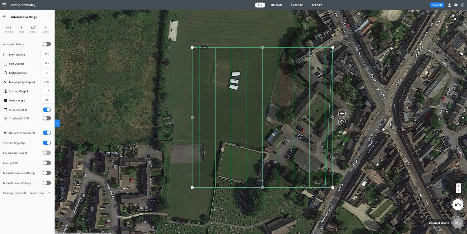
Optimising Flight Paths: Strategic flight planning can also play a role. By optimising the drone’s flight path for efficiency, optimising overlap and redundant coverage, some of the time and data challenges can be reduced.
The Interplay of Altitude and Speed: Avoiding Motion Blur in Drone Surveying
When optimising drone flight for surveying, altitude is not the only variable that needs careful calibration. Speed plays an equally crucial role. As one lowers the altitude for detailed imagery, the drone’s speed must also be adjusted accordingly to avoid motion blur, which can severely compromise the quality of the images captured.
The Mechanics of Motion Blur
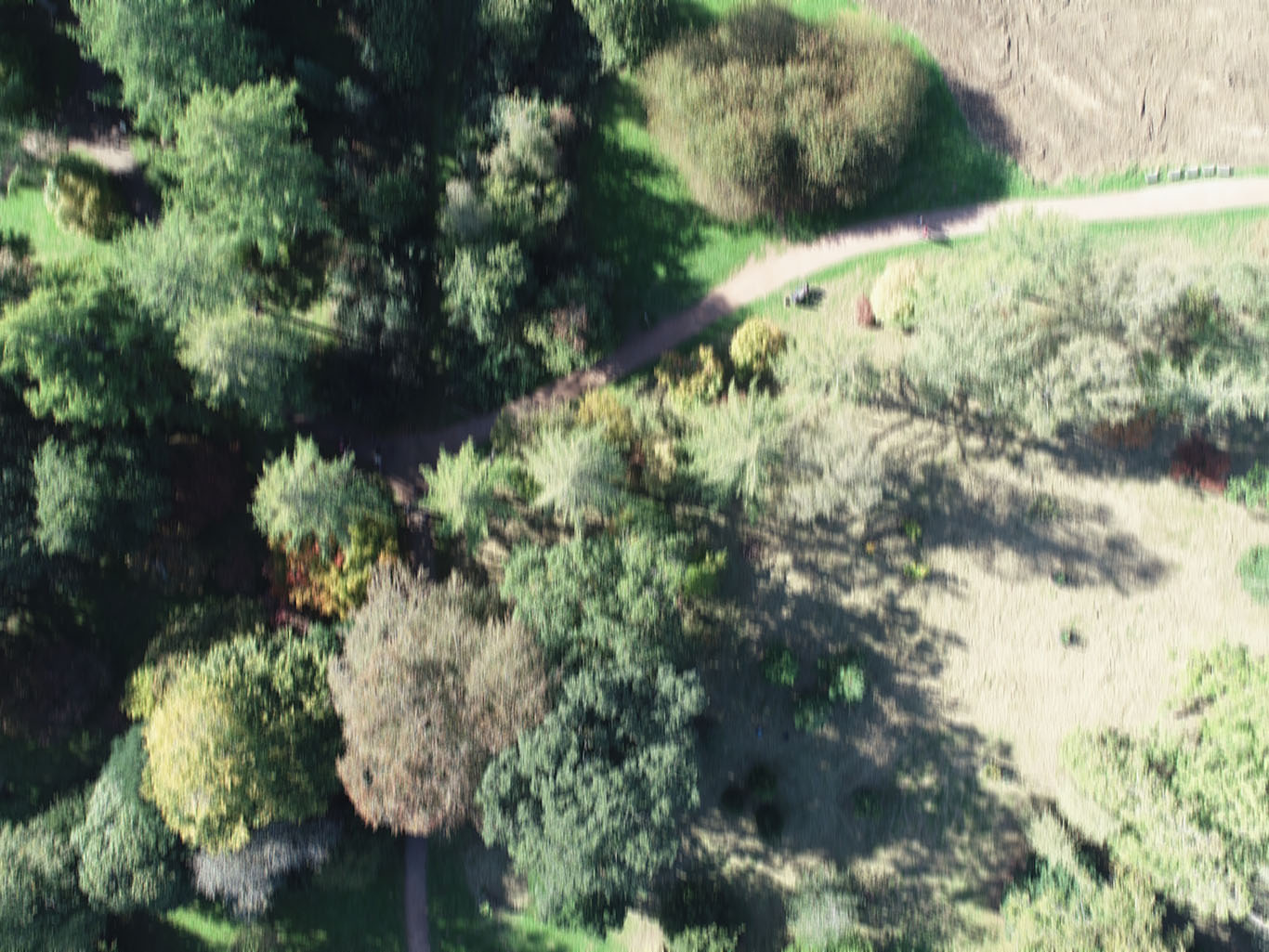
Motion blur occurs when the drone or its camera moves significantly during the exposure time of an image. In layman’s terms, if the drone is moving too fast relative to its altitude, the images captured can appear smeared or blurred, primarily due to the rapid movement of the drone over the ground.
Why Lower Altitudes Demand Slower Speeds
Closer Proximity to Subjects: At lower altitudes, the drone is closer to the ground or other subjects. Even slight movements or speed changes can result in significant positional shifts relative to these subjects, increasing the risk of blur.
Higher GSD Sensitivity: As previously discussed, a lower altitude results in a finer Ground Sampling Distance (GSD). This increased resolution can make any motion blur more apparent and detrimental to the final image quality.
Strategies to Counteract Motion Blur
Calibrated Drone Speeds: When planning the drone’s flight path, ensure the speed settings are calibrated to the chosen altitude. Modern drone photogrammetry flight planning software such as Drone Deploy or Pix4D often have automated settings or flight modes that adjust speed relative to altitude, optimising for clear image capture.
Stabilisation Features: Most modern drones are equipped with advanced stabilisation mechanisms such as GPS and gimbals to counteract minor jitters or shifts, reducing the risk of motion blur.
Optimised Camera Settings: Setting faster shutter speeds can help in reducing motion blur. However, this might demand more lighting or adjustments to other camera settings like ISO or aperture.
Regular Monitoring: During the drone’s flight, continuously monitor the captured images. If signs of motion blur are detected, adjustments should be made, either by reducing the drone’s speed, increasing altitude, or tweaking the camera’s settings.
Conclusion
The relationship between altitude and Ground Sampling Distance is a cornerstone concept in drone surveying. By comprehending this interplay and factoring in project needs, safety, and technical capabilities, surveyors can make informed decisions about flight altitude. Ultimately, mastering this balance ensures that the resulting imagery is both high-quality and relevant to the survey’s objectives.