photogrammetry

Unlocking the Skies: How Drone Surveys are Revolutionising Data Collection

Introduction In the tapestry of technological evolution, the methods by which we survey and map our world have undergone remarkable transformations. From the rudimentary tools of ancient surveyors to the sophisticated satellite imaging of the modern age, each leap in technology has brought us closer to understanding the intricacies of our planet in finer detail. […]

Unlocking the Skies: How Drone Surveys are Revolutionising Data Collection Read More »

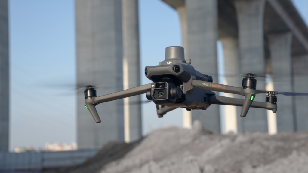
DJI Mavic 3 Enterprise surveying drone

The Best Flight Height for Drone Surveying & Mapping: A Comprehensive Guide

Drones have revolutionised the world of surveying, offering a faster, more efficient, and highly accurate method to capture data. At the heart of this technological marvel is the process of photogrammetry—converting photos into precise and reliable measurements. When it comes to drone surveying, understanding the ideal flight height is crucial. So, let’s delve into this

The Best Flight Height for Drone Surveying & Mapping: A Comprehensive Guide Read More »