Drone Mapping

Optimising Overlap in Drone Mapping: A Comprehensive Guide for Operators and Surveyors

Introduction to Photogrammetry Photogrammetry, a term coined by Prussian architect Albrecht Meydenbauer in his 1867 article “Die Photometrographie,” is a multifaceted science and technology. It is defined as the process of obtaining reliable information about physical objects and environments through the recording, measuring, and interpreting of photographic images and patterns of electromagnetic radiant imagery, among …

Optimising Overlap in Drone Mapping: A Comprehensive Guide for Operators and Surveyors Read More »

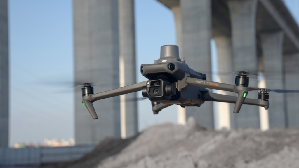
DJI Mavic 3 Enterprise surveying drone

The Best Flight Height for Drone Surveying & Mapping: A Comprehensive Guide

Drones have revolutionised the world of surveying, offering a faster, more efficient, and highly accurate method to capture data. At the heart of this technological marvel is the process of photogrammetry—converting photos into precise and reliable measurements. When it comes to drone surveying, understanding the ideal flight height is crucial. So, let’s delve into this …

The Best Flight Height for Drone Surveying & Mapping: A Comprehensive Guide Read More »

Drone mapping

Drone Mapping: What is it and how can it help my business?

Drones have a variety of purposes, but one of their most popular applications is in mapping. Drone mapping offers many advantages over traditional methods, such as satellite imagery or ground surveying. In this blog post, we’ll take a closer look at what drone mapping is and how it can benefit your business. Stay tuned! What …

Drone Mapping: What is it and how can it help my business? Read More »