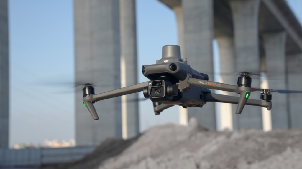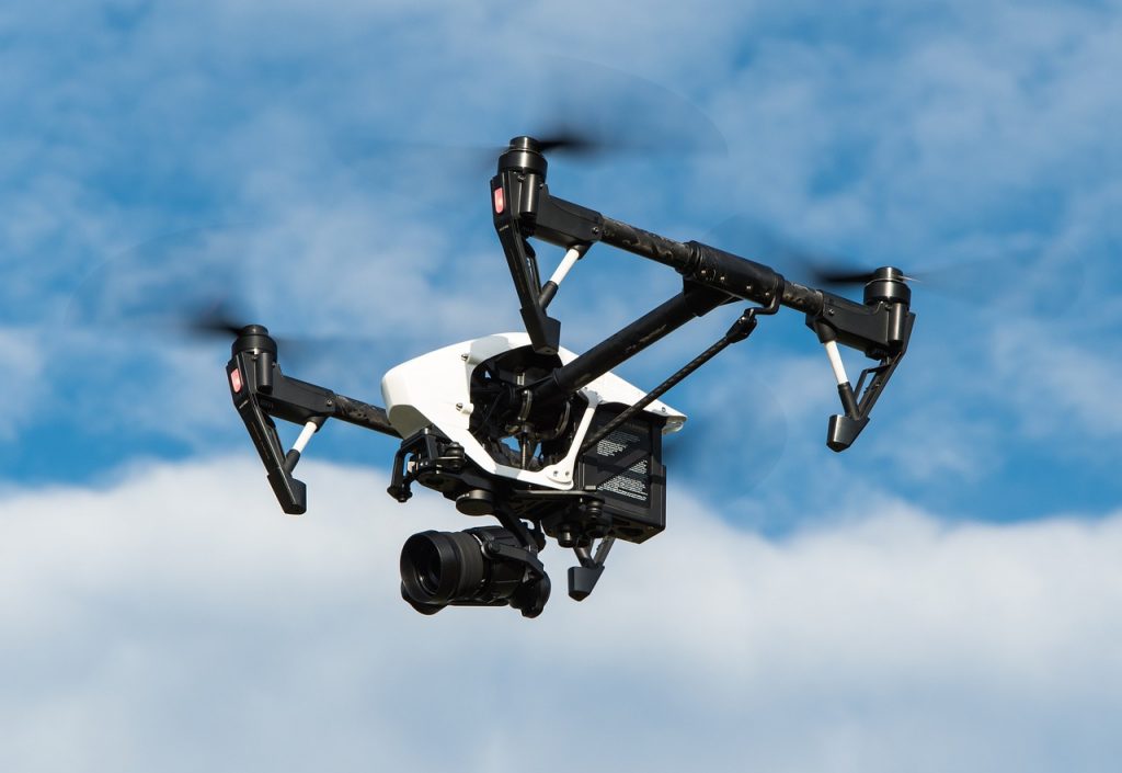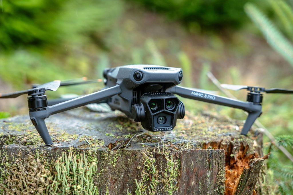
Discover Our Comprehensive Drone Services: Construction, Surveys, Marketing, and More
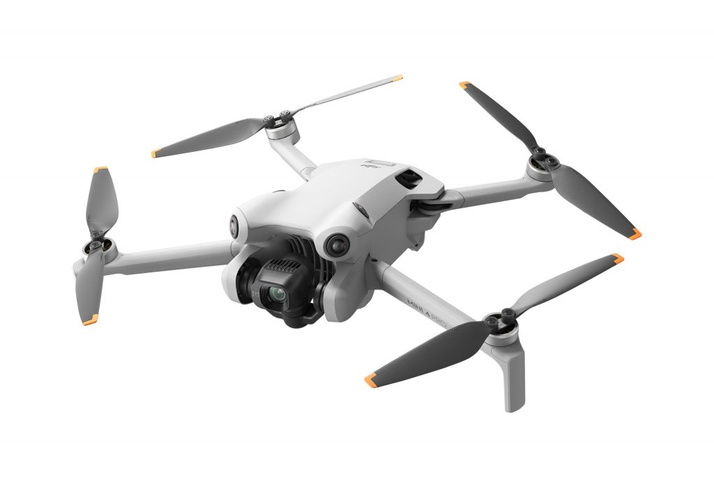
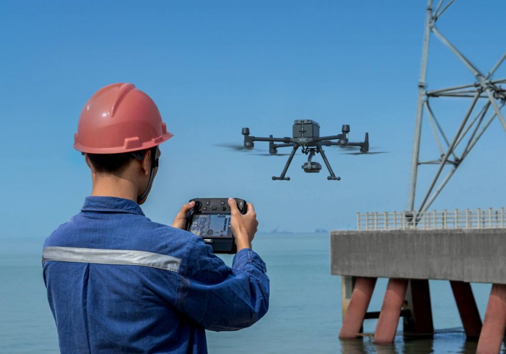
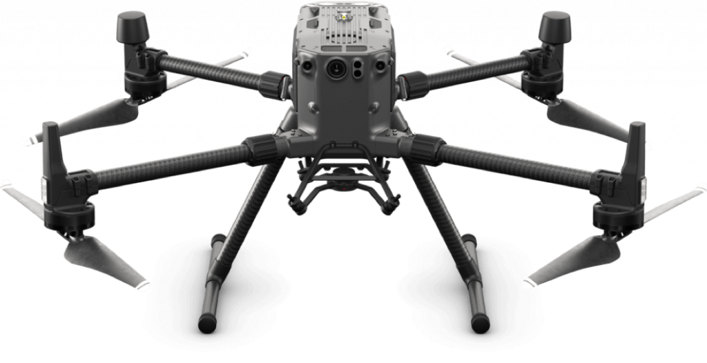
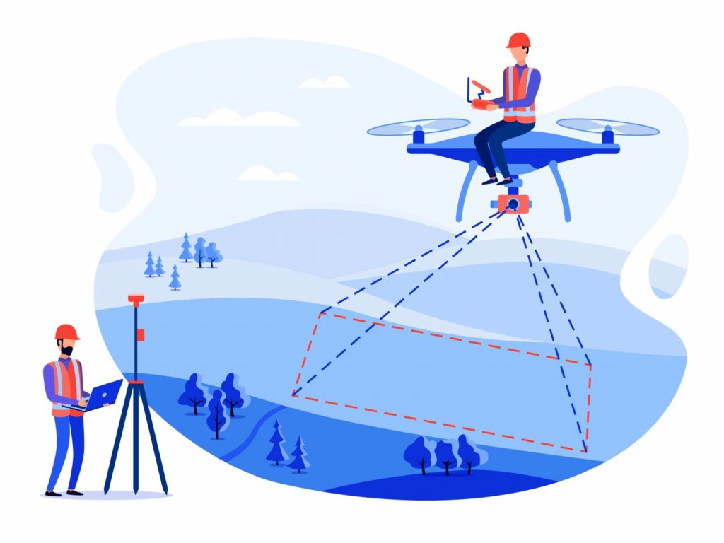
In today’s fast-paced, technology-driven world, leveraging advanced solutions is key to staying ahead of the competition. One such cutting-edge innovation is the use of drone services. Whether you’re in construction, marketing, television, or any other industry, drone services offer unparalleled advantages. Let’s explore how our comprehensive drone services can help your business. Drone Services for […]
Discover Our Comprehensive Drone Services: Construction, Surveys, Marketing, and More Read More »